ShmoopTube
Where Monty Python meets your 10th grade teacher.
Search Thousands of Shmoop Videos
Science Videos 21 videos
Apologies in advance if you came here really excited about a bicycle you can ride on water. We get that a lot. This video is really about the cycle...
Today we've got some geography. But that's not all, there are tons of extra features included free of charge. We've got rivers, lakes, deserts, mou...
There are tons of different types of maps. We practically need a map map to remember all of them. But don't worry, we've squeezed a few of the impo...
Science 4: Mapping Tools 10 Views
Share It!
Description:
Today we'll teach you all about the wondrous world of drawing maps of tools. Soon you'll be making your way from hammers to wrenches in no time. Oh wait...mapping tools. Not mapping tools. Hm. You'll just have to check out the video to figure this one out.
Transcript
- 00:04
[Dino and Coop singing]
- 00:13
Pretty much every job in the world has its own set of tools of the trade... [Pictures of tools]
- 00:16
A doctor has her stethoscope, thermometer and tongue depressors...
- 00:20
A teacher has his red pens, dry erase markers, and a subscription to Shmoop, natch.
- 00:25
And a plumber has his wrenches, sockets, power mushrooms, and warp pipes… [A plumber with his tools]
Full Transcript
- 00:29
…wait…that might just be Mario….huh. [Mario appears]
- 00:31
But these tools don't always stay the same. [Caveman making a wheel]
- 00:34
As technology advances, we usually invent new and exciting tools to help people do their
- 00:37
jobs even better and faster. [An old car followed by a modern supercar]
- 00:40
And there's no better example of this than the tools for map-making, used both by the
- 00:44
surveyor who gathers the information about elevations and distances of points on the [Surveyor at work]
- 00:48
ground, and the cartographer, who takes that information and turns it into a map. [A cartographer in his office]
- 00:52
For instance, thousands of years ago, it was super difficult for cartographers and surveyors [Surveyor looking confused]
- 00:58
to determine their position relative to the cardinal directions – that's north, south,
- 01:02
east, and west, not the direction of the nearest St. Louis baseball player. [Baseball player appears]
- 01:05
But that all changed with the compass, which was first used by the Chinese in the 11th century. [Man holding a compass]
- 01:11
Using the natural magnetism of the Earth, a compass is able to point towards the North
- 01:16
pole, and allowed surveyors to quickly identify which direction was which. [Surveyor looks happy now he has a compass]
- 01:21
Another important tool in map-making is the sextant.
- 01:24
The sextant was first used in 1730. [Picture of a sextant]
- 01:27
It allows the user to measure the angle between any two visible objects, which was especially
- 01:32
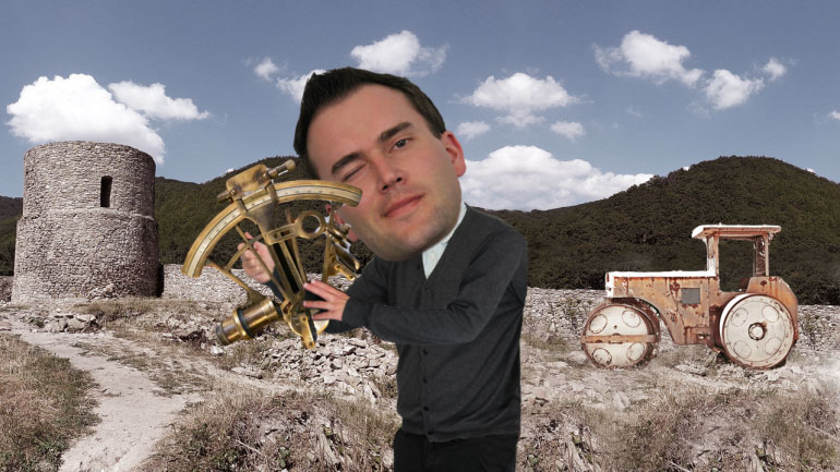
important for using stars and the sun as navigational tools. [Man using a sextant]
- 01:36
We're guessing, "take a left turn somewhere past Orion…or…like…a forty-five degree
- 01:41
angle to…the Big Dipper, maybe?" [Guy looking confused]
- 01:43
weren't super helpful directions.
- 01:45
Moving onto our next tool... the telescope.
- 01:48
You've probably seen one of these before.
- 01:50
These were first used in the early 1600s, and allowed surveyors to measure angles and [Soldier using a telescope]
- 01:55
see far off into the distance.
- 01:57
More recently, cartographers have been able to gather data about the Earth from high up
- 02:01
above by using satellite imagery, aerial photography, and Shaquille O'Neal. [Satellite in orbit]
- 02:06
A Global Position System – which tends to go by its nickname, GPS – allows users to
- 02:10
know exactly where they are, using satellite positioning. [Woman using a GPS in her car]
- 02:14
The device can pick up signals from a satellite which can give it a very precise location.
- 02:18
It's like a compass on steroids. [GPS receiving satellite signals]
- 02:20
Then there's remote sensing, which allows elevations on the ground to be measured by
- 02:24
the use of electromagnetic waves sent from an airplane. [Airplane transmitting electromagnetic waves]
- 02:27
And of course, cartographers now use computer software, including CAD –or, Computer-Aided
- 02:32
Design - and GIS – Geographic Information System - which allows them to make more detailed [Cartographers working at a computer]
- 02:37
maps than ever before.
- 02:39
From compass to satellites, cartographers have a ton of of map-making tools at their
- 02:43
disposal, leading to some pretty swanky maps and models today. [Pictures of the various tools]
- 02:47
But what's next…?
- 02:48
Well, no one's ever made a life-sized model of Earth. [A globe the same size as the Earth]
- 02:51
How cool would that be?
- 02:53
Though it might be a little hard to find somewhere to put it…
Related Videos
Sticks and stones, right? Well...only sometimes. It's a good idea to make sure your words aren't going to hurt others. Let's look at some ways to d...
Learn to debate like a champ. It's way better than debating like a chimp. That just takes mudslinging to a whole new level.
Today we'll learn about biographies and autobiographies. And no, the second one has nothing to do with the lives of cars.
In this lesson we'll subject you to some verbs and predicates. Each one is a necessary part of a complete breakfas—er...sentence.
Choosing words carefully is important. You may end up vexing the assemblage of citizens you're conversing with...or you might even just plain bore...

